NextNav Taps GSMA Partnership to Help Shape a Safe, Drone‑Dominant Future
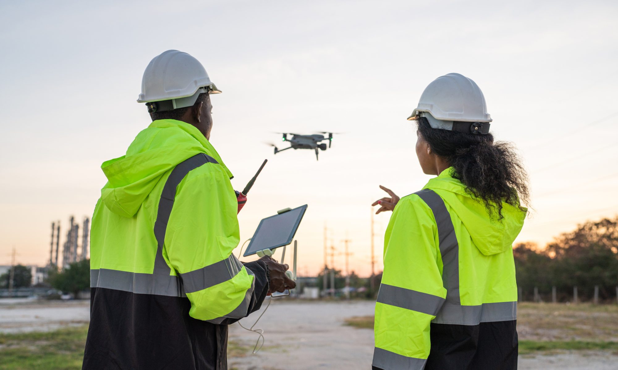
NextNav Inc. (NASDAQ: NN) is leaning into the next wave of airspace innovation, joining GSMA and a group of telecom, aviation, and security partners in an initiative aimed at making drone operations safer, more trusted, and more scalable as the market grows. The move positions NextNav’s 3D positioning, navigation, and timing (PNT) technology as a building block for future drone corridors and air traffic management systems.
What NextNav and GSMA are doing
The GSMA Fusion initiative has published a Joint Requirements Statement that outlines how mobile networks and programmable network capabilities can support safe drone operations. The document calls for alignment on key areas like drone identification, tracking, connectivity, and vertical positioning so regulators and operators can build airspace rules on a common technical foundation.
As a founding participant, NextNav will collaborate with GSMA members and other partners to define requirements and test how its 3D PNT and geolocation solutions can enhance situational awareness for drones and the systems that manage them. That includes sharing insights on how 5G‑enabled, terrestrial‑based positioning and vertical accuracy can help distinguish flight levels, avoid collisions, and support integration with crewed aviation and critical infrastructure.
Why this matters for drone airspace
The initiative is emerging as regulators and industry prepare for a world where drones handle more tasks—from deliveries and inspections to public‑safety missions—and potentially share airspace with crewed aircraft. Safe operations at scale will require robust identity, tracking, and reliable location in three dimensions, especially in dense urban environments where GPS alone can struggle.
NextNav has previously highlighted how its Pinnacle vertical‑location service can support public safety by giving first responders accurate floor‑level data inside multistory buildings. Extending similar capabilities to drones could help authorities and operators maintain “who, where, and how high” awareness in real time, which is essential for both safety and security as drone traffic grows.
Positioning for investors in NN
For investors, this announcement reinforces NextNav’s strategy of embedding its 3D PNT and geolocation technology into emerging ecosystems where traditional GPS has limitations—including public safety, urban navigation, and now drone operations. While the GSMA collaboration itself is early‑stage and not tied to immediate revenue, it strengthens NextNav’s relationships with major network operators, aviation stakeholders, and regulators who will shape the rules and infrastructure for drone airspace.
If the initiative leads to standards that incorporate terrestrial 3D PNT as a requirement or recommended component, NextNav could find itself well‑positioned as a preferred technology partner for telecom operators, drone platforms, and public‑safety agencies looking to future‑proof their systems.